Kattevennen - gateway NPHK
Hiking in Kattevennen
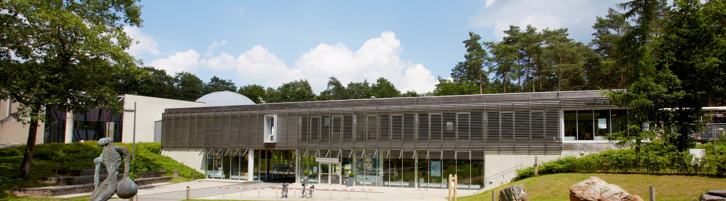
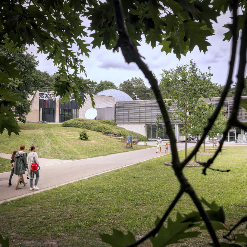
Entrance gate to National Park Hoge KempenSignposted routes take you to quiet enjoyment spots in the Kattevennen pine forest. At the car park of the domain, walking routes leave for e.g. the Mariagrot of Wiemesmeer or the Heempark.
The green route is 4.6 km, the blue 7.2 km and the red 9.6 km. A yellow loop of 11.5 km connects Kattevennen with the Hei- en Meibos of Sledderlo and the surfing lake Papendaalheide.
Via these routes, you can also connect to other hiking areas in the National Park via the long-distance walk that connects all hiking areas.
The hiking maps of Kattevennen and the other entry points of the Hoge Kempen National Park are available at the Visitors' Centre.
Cycling in Kattevennen
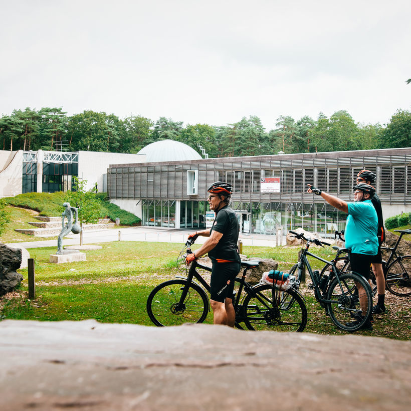
Entrance gate to National Park Hoge Kempen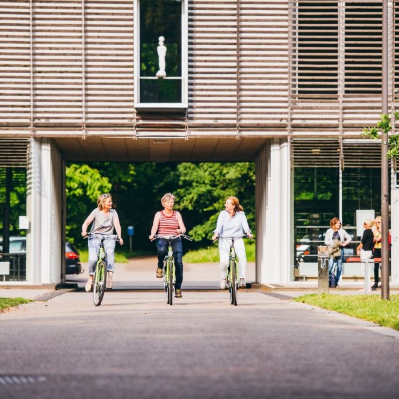
Cycle safely and traffic-free
- the domain is connected to the Limburg cycling network
- from junction 30 you ride straight through the Hoge Kempen National Park
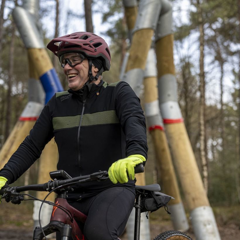
Are you a mountain bike fanatic?
Kattevennen is on the Hoge Kempen mountain bike route
- 42 adventurous kilometres over sand and humps
- past the Racing Genk stadium
- and along the terrils of the mine site